Submission of Digital Format Drawings of Proposed Site Layouts in Association with New Developments
Guidance Notes
The following is based on the Northern Ireland Water ‘Code of Practice Guidelines for Submitting Asset Records’ (current version).
Following a formal application for a Watermain Internal to site (WRI-A076) and on completion of pages 4 - 6 of the application form, Developer Services Co-ordination Team will request that NIW Asset Information Maintenance consider providing digital copies of LPS (OSNI) data if noted on page 4 of the application forms. It is important to also complete pages 5 - 6 even if you already have a Global Data Sharing Agreement (GDSA) to avoid any delays if the GDSA has expired. This data will be provided on the understanding that it is purely for use as part the formal application as mentioned above. However if the proposed site layout is already orientated to the Irish Grid co-ordinate system with the drawing units in metres you should still complete pages 4 - 6 of the application form in case the submission is not correct and is rejected. If the proposed site layout is already orientated to the Irish Grid co-ordinate system with the drawing units in metres, and using the correct layering convention as stated below, you can submit the AutoCAD drawing or Map Info tab file along with the initial application on a disc, however pages 4 - 6 should still be completed in case the submitted file is not in the correct format to allow it to be uploaded to allow the WRI-A076 application to be completed. Please note that memory sticks are not accepted.
The data will be supplied in MapInfo Tab, DXF or DWG format as indicated on the application form.
Please note that the submission of digital format proposed site layout is no longer required as part of the Article 161Application for Agreement to Connect Sewers in a New Development (SA1-A161).
There is no charge for this service at present.
Please allow 28 working days for the issuing of the digital data. You should apply for a Watermain Internal to site a minimum of 3 months prior to the watermain being needed on site.
You will receive files containing a layer
- OS Mapping
Please note that this layer is set to Irish Grid co-ordinate system. Do not amend this layer in ANY way. It should only be used as a template when adding the NIW Site Boundary and NIW Proposed Site Layout layers.
You should then complete the NIW Proposed Site Layout taking into consideration that the layer should include the road layout, footpaths, building outlines and property boundaries ONLY. These should all be included in the one layer. No other details should be submitted (i.e. Trees, centre lines, cars, internal details etc) and all other layers should be removed from the drawing.
The layout of the development must ONLY include the following layers with the layers named as below and should be emailed to developerservices[AT]niwater[DOT]com. All other layers should be removed from the drawing:
- OS Mapping (supplied by NIW under Data Sharing Agreement imported to the original Irish Grid co-ordinate system)
- NIW Site Boundary
- NIW Proposed Site Layout
Please Note:
- NIW prefix is required for the above mentioned layers so that they are easily identifiable when Asset Information upload the data into NI Water GIS for use internally.
- NI Water data must be returned on submission of ‘As Constructed’ drawings.
Proposed site layouts must be submitted in a format compatible with NI Water GIS. These include MapInfo Tab, DXF or DWG format.
All drawings must be retained and submitted in the original Irish Grid co-ordinate system with the drawing units in metres.
Failure to adhere strictly to the layering convention and rules for what these layers should include will result in your application being rejected, which will delay the processing of your submission.
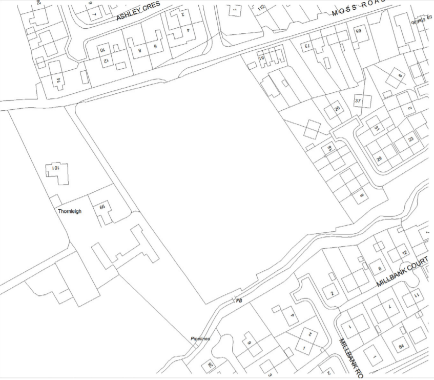
The following show examples of layers and submissions, detailing standards of digital submission.
LAYERS
Layers Requirements
| Layer Names: | Notes |
| General Layer Names | |
|
|

|
|

|
|
Full Article 76 / 161 Application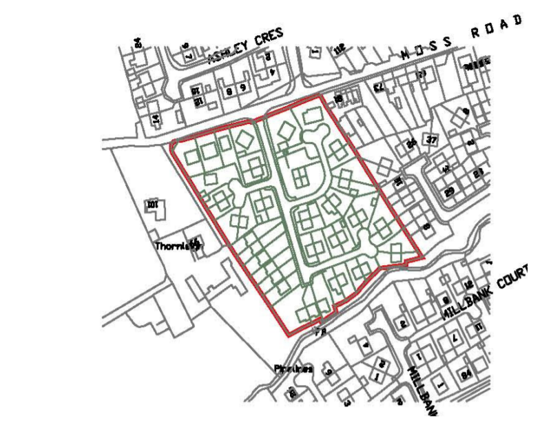 |
|